If you’re a boat captain in the Mediterranean, you don’t want to drop anchor on seagrass beds, which are crucial for many ocean creatures. But you can’t always see the seagrass below your boat. How can you avoid damaging this critical ecosystem?
There’s an app for that.
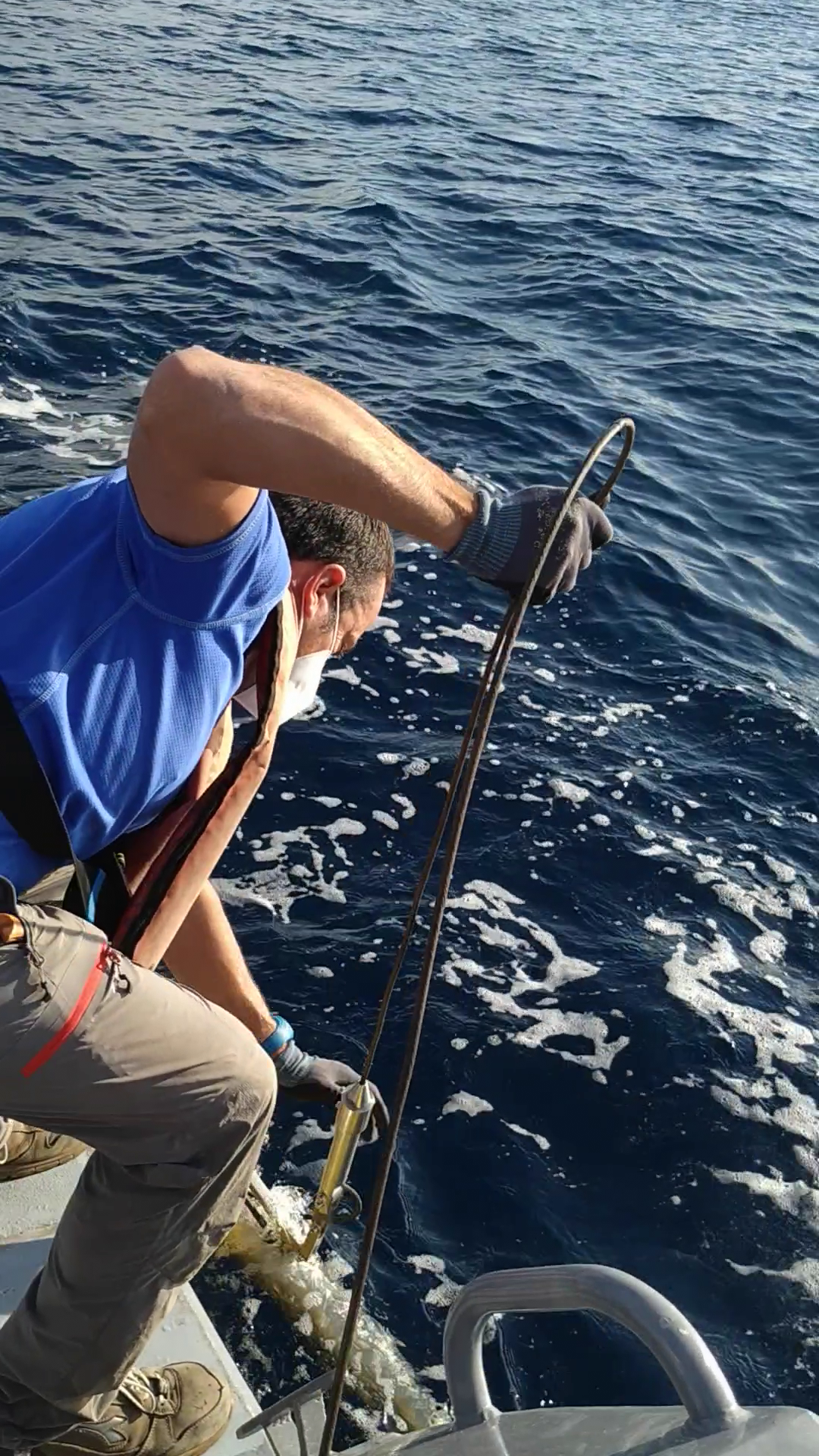
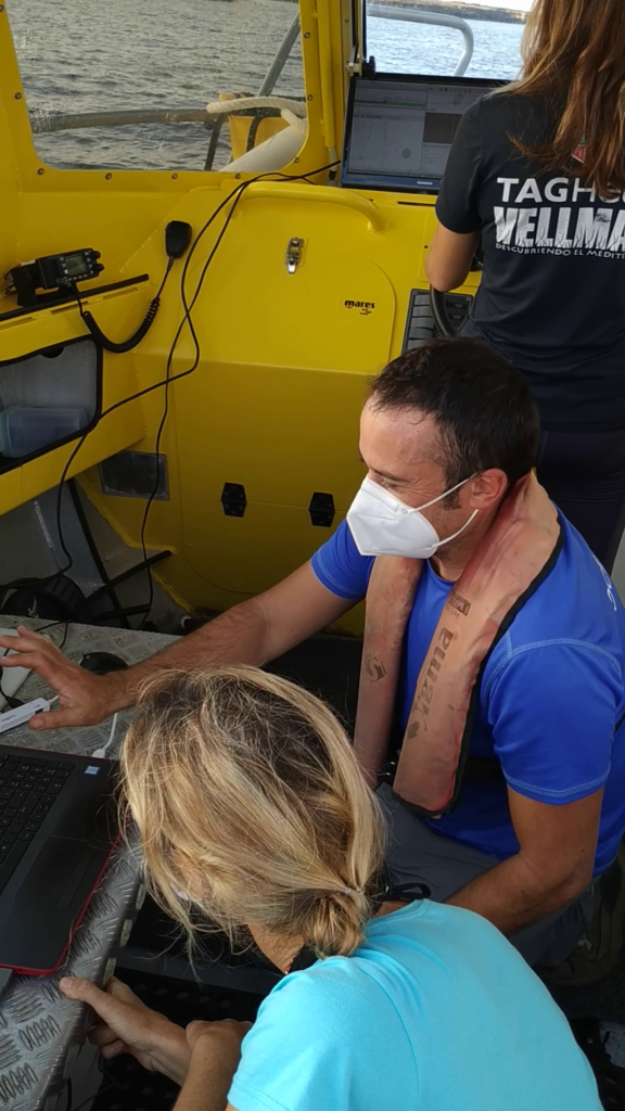
The free app, which has been downloaded more than 4,000 times, lets boat crews know exactly where seagrass is. It provides exquisitely accurate (within one meter) maps of the seagrass beds. A Seacology grant is funding a nonprofit organization, the Vellmari Association, to finish mapping the seagrass around Formentera Island, one of Spain’s Balearic Islands.
Recent studies suggest that in the western Mediterranean, seagrass (Posidonia oceanica) beds have declined by 34% over the last 50 years. Damage from anchors is a major cause. This project will help protect the largest and oldest Posidonia meadow in the Mediterranean, in the Natural Park of Ses Salines. In the summer, around 4,000 boats anchor there each day, destroying large areas of seagrass.
Seagrass is an unsung hero of biodiversity that creates huge, uniquely important ecosystems. Posidonia beds grow over centuries, forming beds several meters high and sinking deep roots. These meadows teem with fish, mollusks, starfishes, crustaceans, and plankton. The meadows protect the coast and beaches against erosion and keep the water clear.
Local people depend on them because they are crucial to fishing and tourism. In fact, all of us depend on seagrass, because seagrass ecosystems store carbon more efficiently than any ecosystem on the planet. They trap carbon and keep it out of the atmosphere for thousands of years.
The Vellmari Association hopes to keep gathering data. Eventually, it may map Posidonia meadows in other parts of Spain, France, Italy, and beyond.
The app is available to download for iOS or Android devices.