Keep in Touch

Subscribe to stay up to date on Seacology’s events, trips, and projects.

  • Email Address
  • This field is for validation purposes and should be left unchanged.

top-cap-white

Tanzania

Mtwara District

top-cap-bluetop-cap-white

Conservation benefit: Establishment of a 3,459-acre community marine conservation area for 10 years

Community benefit: Education and awareness program, new community resource center, and support for alternative livelihood options

Date Approved: 06.2012

Mangroves

This project protects mangroves, which trap more CO2 than any other kind of forest and as a result, slow global warming.

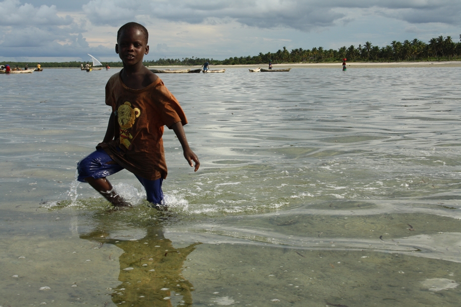
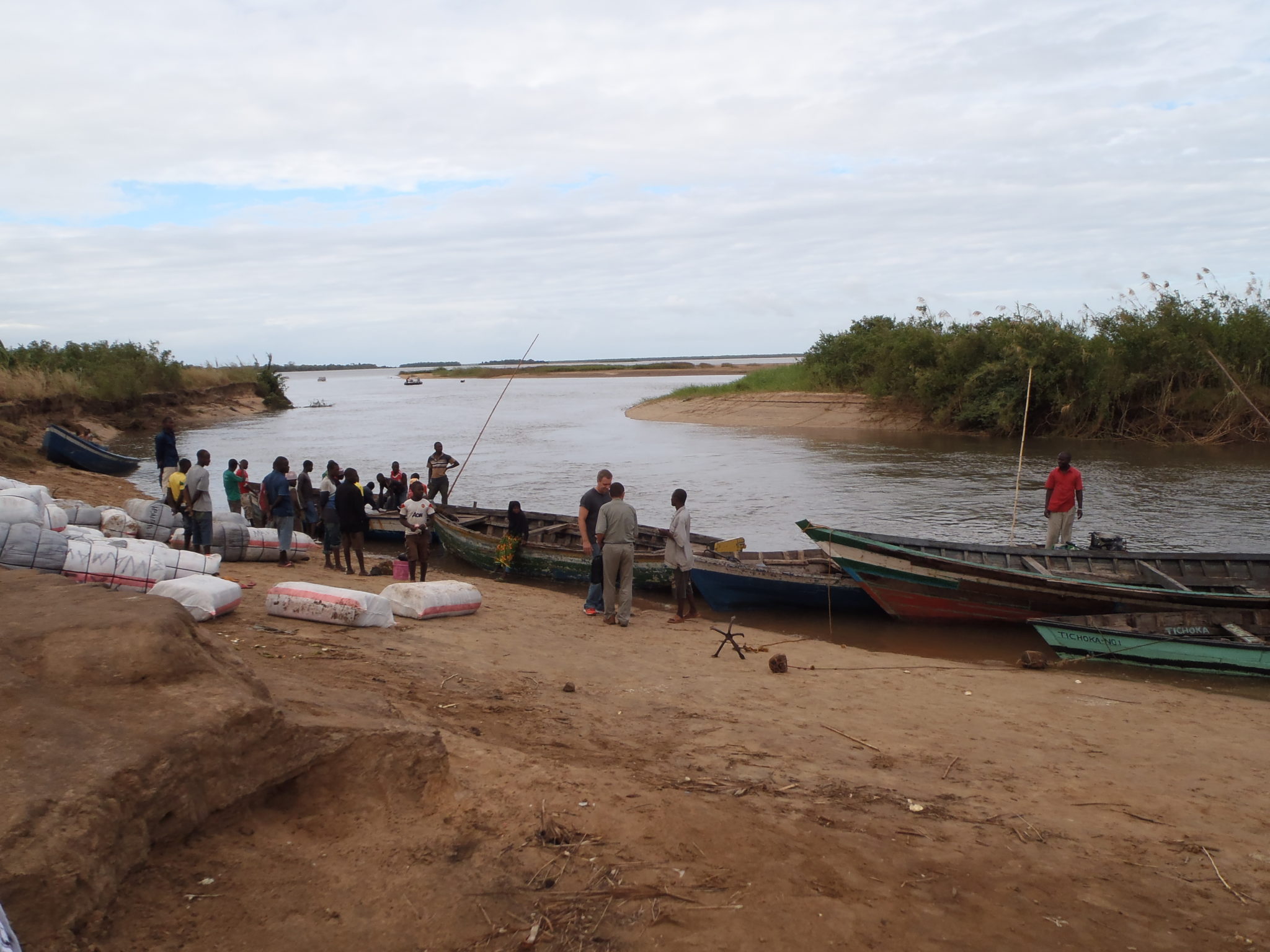
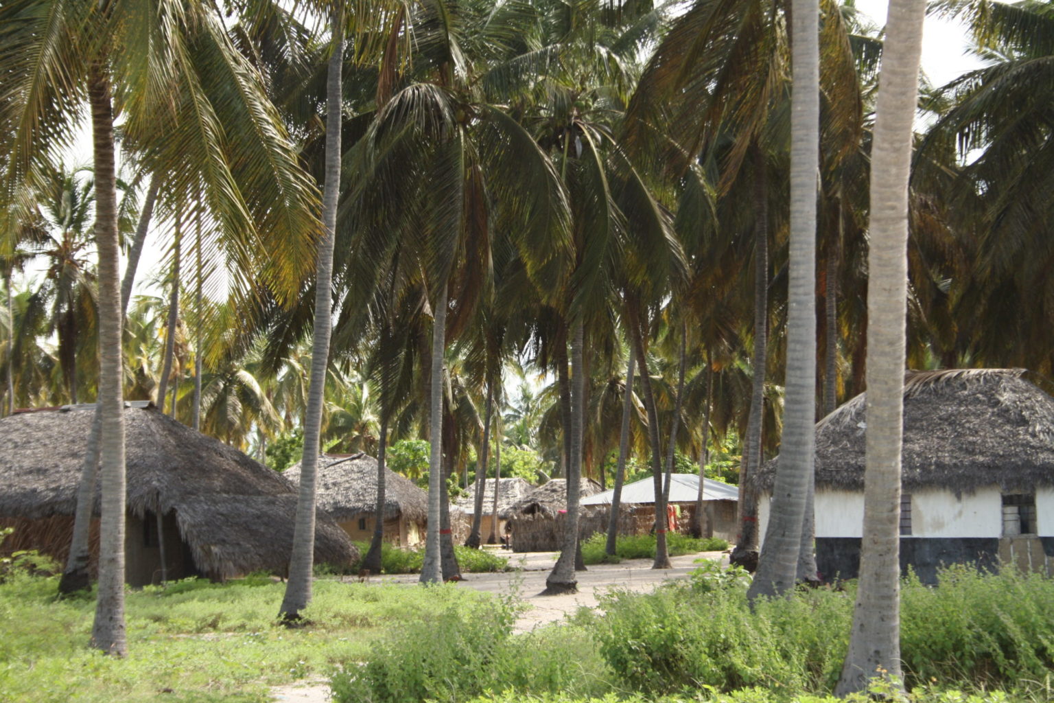
The Mnazi Bay Ruvuma Estuary, in the Mtwara district of southeast Tanzania, covers 251 square miles (650 square kilometers). Inside its boundaries are 17 villages, with a total population of 45,000. The waters around the islands are renowned for their rich diversity, including 42 coral genera and 369 species of fish. Extensive stands of mangroves cover the shorelines of the islands. There is a large population of crab plovers, which has led to the area’s designation as an important bird habitat. Fishing, coral mining, and other extractive activities are permitted inside the reserve, putting significant pressures on its biological resources.

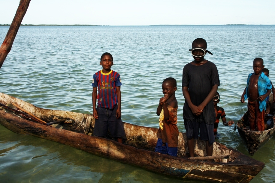
The five villages of Mkubiru, Mnete, Nalingu, Ruvula, and Sinde wish to protect marine and terrestrial endangered species found on the islands of Namponda, Membelwa, and Kisiwa Kidogo. To do this, they will create a 1,400-hectare (3,459-acre) community marine conservation area around the three islands. This will protect mangroves and all five species of sea turtles, and let degraded coral reefs recover. An umbrella organization for small-scale fishers, called KIMWAM, is implementing the project.

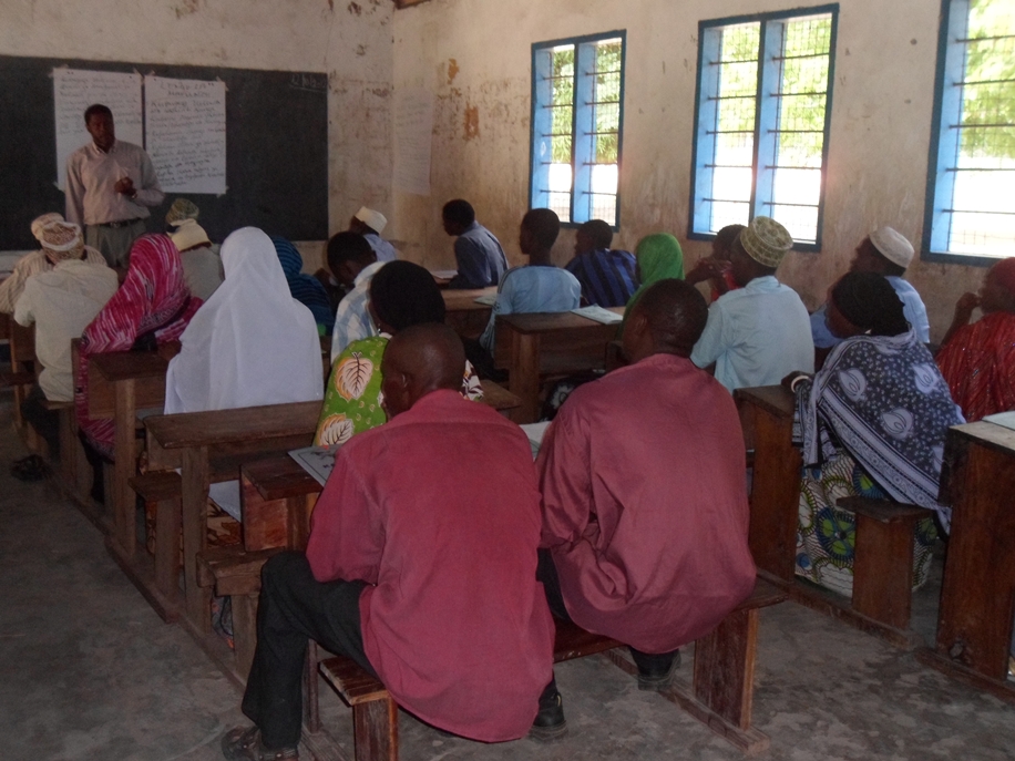
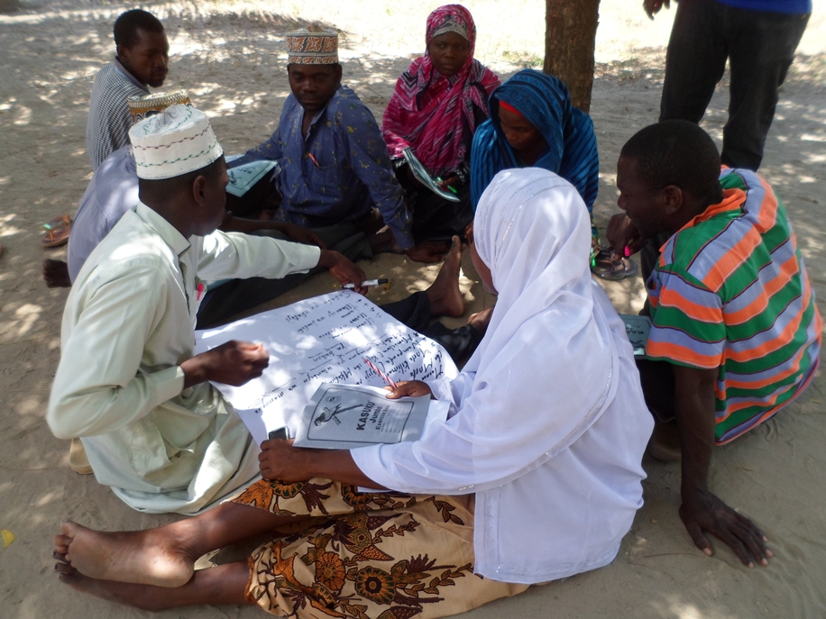
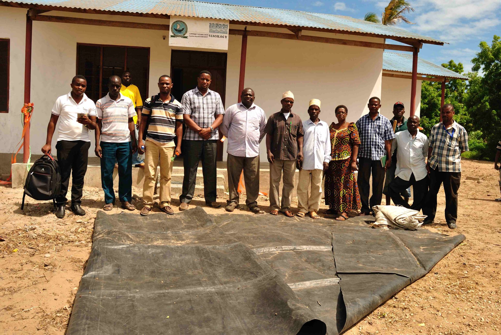
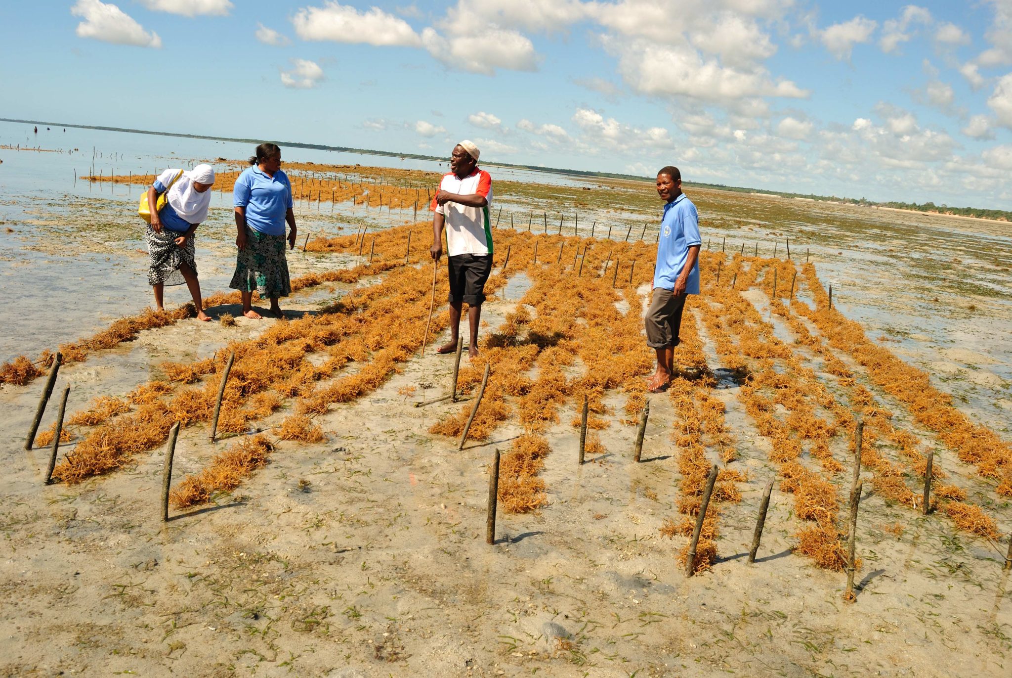
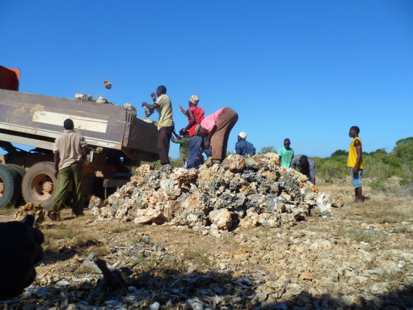
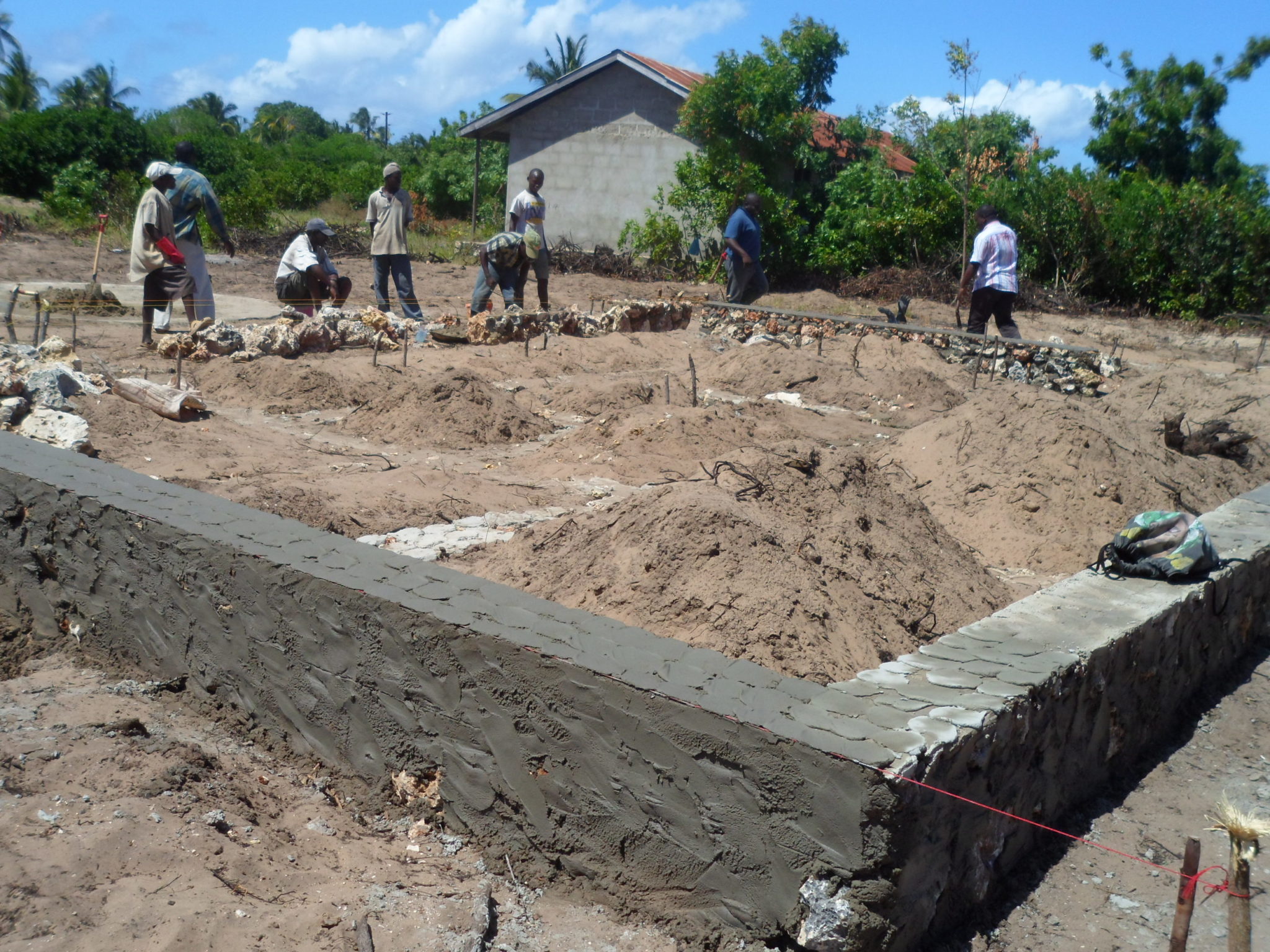
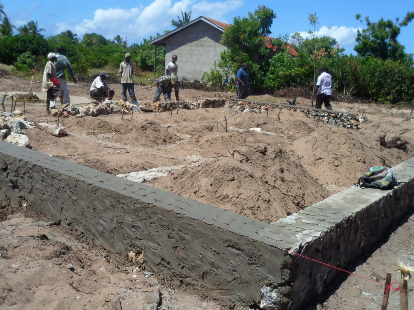
In return, Seacology is funding the construction of a community resource and education center at Ruvula Village. The grant will also be used for mangrove restoration, alternative livelihood options (beekeeping and seaweed farming), and organizational activities.

Project Updates

January 2016

In March 2015, we learned that the Seacology-funded building had not been completed due to insufficient funds, due in part to currency fluctuations. Seacology released additional funds to complete the building, and a final report was received in November 2015.

Read more

June 2013

Construction has commenced, as has developing the management plan for the islands; the first draft will be available in the end of May 2013. The project experienced a few challenges before construction, mainly related to acquiring land for the building, as property values have appreciated considerably due to ongoing development related to gas mining in the area.

Read more

February 2013

A number of village awareness meetings have been held in Mkubiru, Mnete, Nalingu, Ruvula and Sinde communities. Project awareness materials such as brochures have also been produced and disseminated. A GIS survey has also been conducted to map out the marine and coastal resources found within the project area. A total of 14 GIS maps have been produced and distributed with 258 hectares (638 acres) of land identified as highly degraded and in urgent need for rehabilitation. Village bylaws have been reviewed and revised bylaws have been forwarded to the village assemblies for approval.

Read more
- +
top-cap-bluetop-cap-white